Sin categoría
Advancing Marine-Based Carbon sequestration with Algae and Seaweed
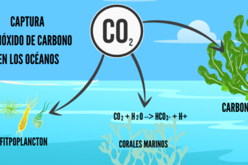
Carbon sequestration is the process of capturing and storing atmospheric CO₂, helping to mitigate climate change. In nature, this occurs primarily through photosynthesis, where plants, trees, and algae absorb CO₂ from the air and use Leer más…